How to Plan a Coastal Path Walk with Maps and Tide Tables

A coastal walk is two plans running at once. The first is the route: which path, how far, how much climbing, and where it goes when the cliff has other ideas. The second is the sea, which keeps its own schedule and will not bend it for you. Get both on paper before you leave, and the day stays a walk rather than a problem to solve at the foot of a landslip.
Start with the map, then measure the ground
An Ordnance Survey Explorer at 1:25,000 is the right working scale for a cliff path. It shows whether the path sits back from the edge or runs along the top of a fall, where the beach turns to boulders, and which short sections are covered at high water. Use a Landranger or a mapping app to choose your stretch; carry the Explorer for the walking itself.
Distance alone tells you very little on the coast. Ten miles with 600 metres of climbing, two stiles and a boulder field is a different proposition from ten flat miles on an estuary wall. As a rough planning figure, allow around 3 km/h on easy coastal tracks and closer to 2 km/h on rough ground, then add about a minute for every ten metres of ascent. Add time for photographs, lunch, and the fact that coastal wind slows everyone down.
Break the route into stages of two to three hours rather than one large number. A stage is easy to adjust; a whole day is not.
Check access, closures and firing times
Rights of way change. Landslips close paths for months, storms reroute them, and some sections run on permissive paths that a landowner can withdraw. Check the National Trails website for the South West Coast Path, Pembrokeshire Coast Path, Wales Coast Path or England Coast Path, then the local council's rights of way map, and the national park authority for the area.
Three things catch people out. Military ranges — Lulworth, Castlemartin, Cape Wrath and others — close when firing is taking place, and a red flag means stop. Seasonal restrictions for nesting birds, seals and livestock often require dogs on leads or a short inland diversion. And ferries: several estuaries on the South West Coast Path are crossed only by seasonal ferries, sometimes only at certain states of tide. A ferry that is not running can add ten miles to your day. If you are unsure, ring the national park centre or harbour office before you travel.
Read the tide table like a walker
Tide tables are published for a standard port — Dover, Liverpool, Newlyn — and you apply a time and height difference for the place you are actually walking. Free sources include the National Tidal and Sea Level Facility, Admiralty EasyTide, and many harbour and council websites. Whatever you use, work out the times for your location, not for the port in the header.
Then think about what the numbers mean on the ground.
- High water on a spring tide floods a wider strip of shore and holds it for longer, so a beach that works on a neap may be impassable.
- Low water on a neap may not drop far enough to open a route that is only exposed at low tide.
- Tides arrive roughly 50 minutes later each day, so yesterday's table is no use.
- Where the range is small, the tide can stand at high or low water for a while, and the simple arithmetic below does not fit neatly.
The rule of twelfths is a useful rough guide to how fast water moves: after low water the tide rises one twelfth of its range in the first hour, two in the second, three in the third and fourth, two in the fifth and one in the sixth. It matters most at causeways and tidal fords, where the crossing window is short. Use the marked safe-height posts and the recommended crossing times rather than your own sums.
Predicted times assume average weather. A strong onshore wind and low pressure can push water higher and earlier than the table suggests, especially in shallow bays and estuaries. In rough conditions, treat the tide as arriving early and leaving late.
Mark your escape points
The best coastal walkers always know how to get off the path. Before you go, highlight every plausible exit on the map and write the grid references in the margin or a notebook.
- Footpaths heading inland, even the ones that look overgrown
- Minor roads, farm tracks and campsites with a public entrance
- Bus stops served on the day you are walking, not just in summer
- Villages with a shop, a pub or a reliable phone signal
- Footbridges over streams, often the only crossing for miles
Note the stretches with no exit for a mile or more: boulder fields, cliffs around headlands, tidal causeways. Those are your commitment sections and they need the most generous timing. If you are unsure about a tidal crossing, do not do it.
Turn it into a day plan
- Choose the direction that puts wind and sun behind you and the tide in your favour.
- Set your start time from the critical point, not from breakfast. If a beach section is open for four hours around low water, work backwards from that.
- Write the times down: start, key tidal points, last bus, sunset.
- Check sunrise and sunset. The coast darkens quickly under cliffs, so carry a head torch even in June.
- Leave the route and expected finish time with someone, and agree when they should start to worry.
- Check car park closing times or barriers if you are leaving a vehicle. Some coastal car parks lock up in the evening.
Kit that earns its place
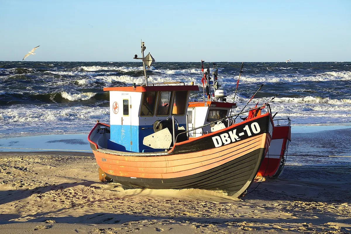
Photo: TheAndrasBarta / Pixabay